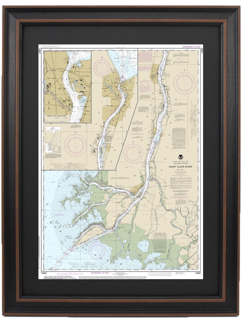
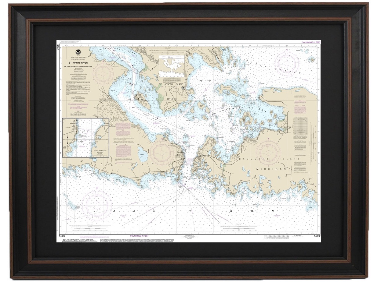
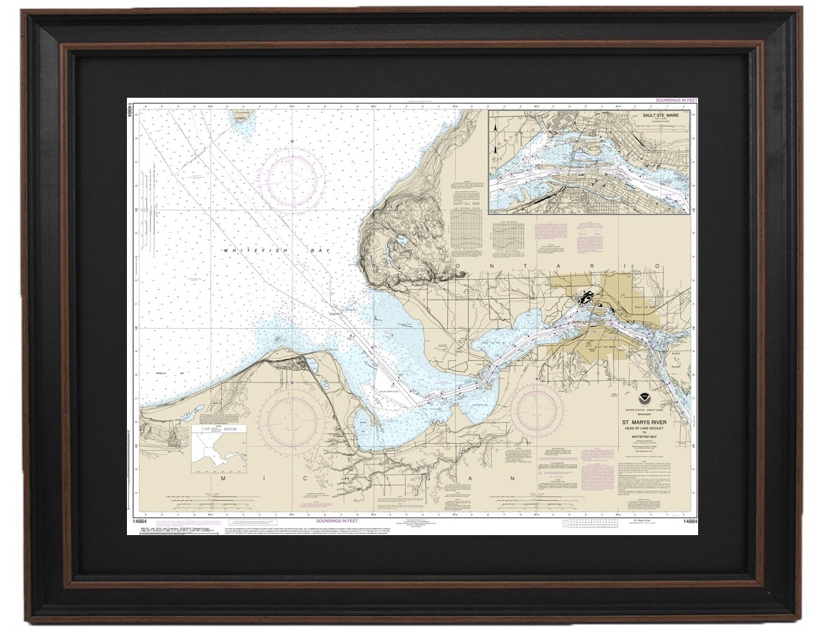
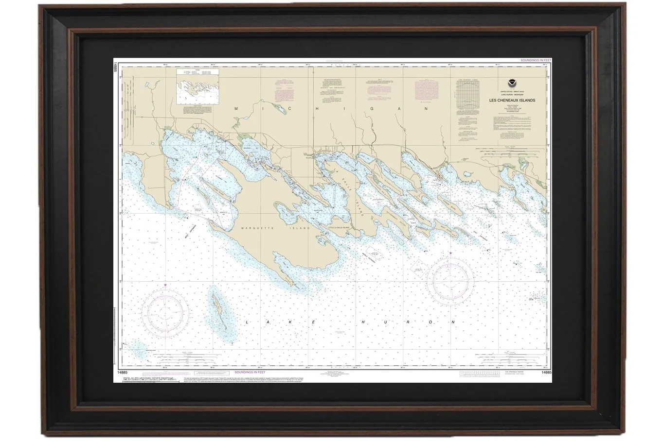
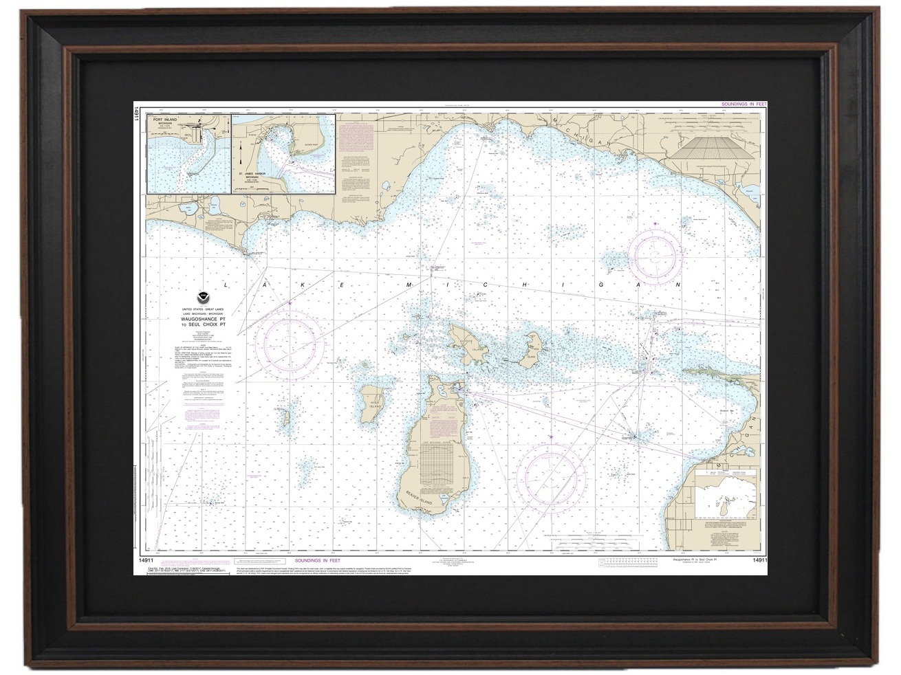
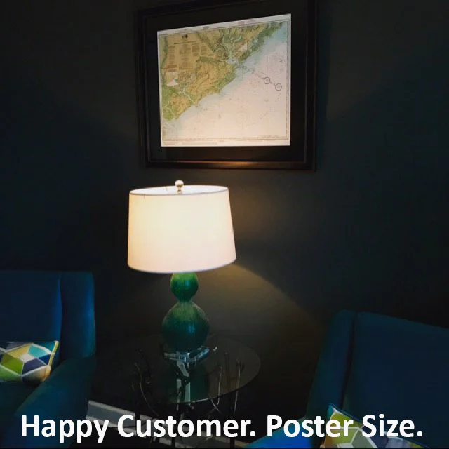
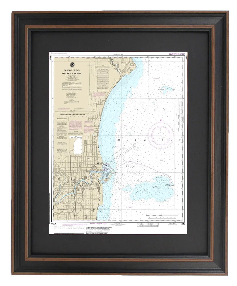
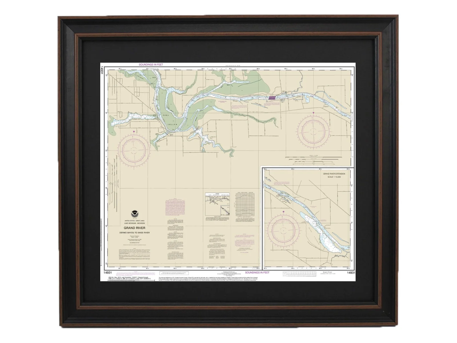
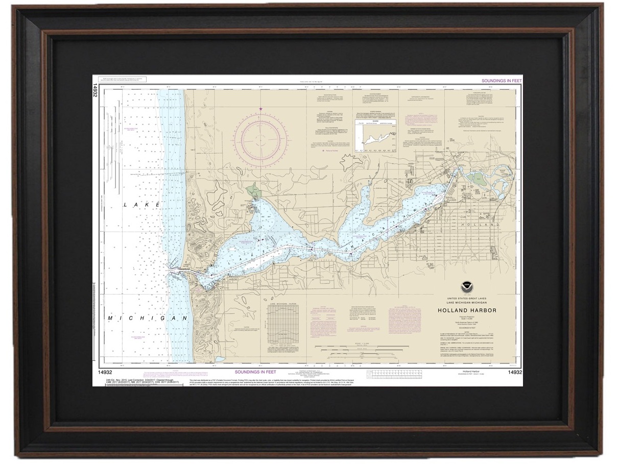
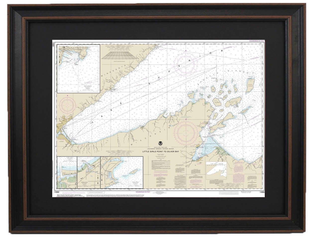
Framed Nautical Maps - Michigan Clear Filters Filter Clear Filter Framed Nautical Map 14500 - Great Lakes from $149.99 Framed Nautical Map 14820 - Lake Erie from $149.99 Framed Nautical Map 14830 - Lake Erie; West End of Lake Erie from $149.99 Framed Nautical Map 14850 - Lake St. Clair from $149.99 Framed Nautical Map 14860 - Lake Huron from $149.99 Framed Nautical Map 14862 - Lake Huron, Port Huron to Pte aux Barques; Port Sanilac; Harbor Beach from $149.99 Framed Nautical Map 14865 - South End of Lake Huron from $149.99 Framed Nautical Map 14847 - Lake Erie, Toledo Harbor; Entrance Channel to Harbor from $149.99 Framed Nautical Map 14848 - Lake Erie to Detroit River from $149.99 Framed Nautical Map 14852 - Head of St. Clair River from $149.99 Framed Nautical Map 14854 - Detroit River to Ford Motor Company, Trenton Channel and River Rouge; River Rouge from $149.99 Framed Nautical Map 14863 - Saginaw Bay; Port Austin Harbor; Caseville Harbor;Entrance to Au Sable River; Sebewaing Harbor; Tawas Harbor from $149.99 Framed Nautical Map 14864 - Lake Huron, Harrisville to Forty Mile Point; Harrisville Harbor; Alpena; Rogers City and Calcite from $149.99 Framed Nautical Map 14867 - Michigan's Saginaw River from $149.99 Framed Nautical Map 14869 - Lake Huron Thunder Bay Island to Presque Isle; Stoneport Harbor; Resque Isle Harbor from $149.99 Framed Nautical Map 14880 - Lake Huron, Michigan, Straits of Mackinac from $149.99 Framed Nautical Map 14881 - Lake Huron Detour Passage to Waugoshance Pt.; Hammond Bay Harbor; Mackinac Island; Cheboygan; Mackinaw City; St. lgnace from $149.99 Framed Nautical Map 14882 - Lake Huron St. Mars River - Detour Passage to Munuscong Lake; Detour Passage from $149.99 Framed Nautical Map 14883 - Michigan's St. Marys River - Munuscong Lake to Sault Ste. Marie from $149.99 Framed Nautical Map 14884 - Michigan's St. Marys River - Head of Lake Nicolet to Whitefish Bay; Sault Ste. Marie from $149.99 Framed Nautical Map 14885 - Les Cheneaux Islands, Lake Huron, Michigan from $149.99 Framed Nautical Map 14887 - St Marys River - Neebish Island, Michigan from $149.99 Framed Nautical Map 14902 - North End of Lake Michigan, Including Green Bay from $149.99 Framed Nautical Map 14905 - Lake Michigan Waukegan to South Haven; Michigan City; Burns International Harbor; New Buffalo from $149.99 Framed Nautical Map 14906 - Lake Michigan South Haven to Stony Lake; South Haven; Port Sheldon; Saugatuck Harbor from $149.99 Framed Nautical Map 14907 - Lake Michigan Stony Lake to Point Betsie; Pentwater; Arcadia; Frankfort from $149.99 Framed Nautical Map 14908 - Lake Michigan Dutch Johns Point to Fishery Point, including Big Bay de Noc and Little Bay de Noc; Manistique from $149.99 Framed Nautical Map 14909 - Lake Michigan Upper Green Bay - Jackson Harbor and Detroit Harbor; Detroit Harbor; Jackson Harbor; Baileys Harbor from $149.99 Framed Nautical Map 14911 - Lake Michigan Waugoshance Point to Seul Choix Point, including Beaver Island Group; Port Inland; Beaver Harbor from $149.99 Framed Nautical Map 14912 - Lake Michigan Platte Bay to Leland; Leland; South Manitou Harbor from $149.99 Framed Nautical Map 14913 - Lake Michigan: Grand Traverse Bay to Little Traverse Bay from $149.99 Framed Nautical Map 14915 - Little Bay de Noc, Lake Michigan from $149.99 Framed Nautical Map 14917 - Menominee and Marinette Harbors, Green Bay from $149.99 Framed Nautical Map 14925 - Racine Harbor from $149.99 Framed Nautical Map 14930 - St. Joseph and Benton Harbor, Lake Michigan from $149.99 Framed Nautical Map 14931 - Grand River, Michigan From Dermo Bayou To Bass River from $149.99 Framed Nautical Map 14932 - Holland Harbor, Lake Michigan from $149.99 Framed Nautical Map 14933 - Grand Haven, including Spring Lake and Lower Grand River, Lake Michigan from $149.99 Framed Nautical Map 14934 - Muskegon Lake and Harbor, Lake Michigan from $149.99 Framed Nautical Map 14935 - White Lake from $149.99 Framed Nautical Map 14937 - Ludington Harbor from $149.99 Framed Nautical Map 14938 - Manistee Harbor and Manistee Lake from $149.99 Framed Nautical Map 14939 - Portage Lake from $149.99 Framed Nautical Map 14942 - Lake Charlevoix; Charlevoix, South Point to Round Lake, Lake Michigan from $149.99 Framed Nautical Map 14962 - St. Marys River to Au Sable Point; Whitefish Point; Little Lake Harbors; Grand Marais Harbor, Lake Superior, Michigan from $149.99 Framed Nautical Map 14963 - Grand Marais to Big Bay Point; Big Bay Harbor, Lake Superior, Michigan from $149.99 Framed Nautical Map 14964 - Lake Superior Big Bay Point to Redridge; Grand Traverse Bay Harbor; Lac La Belle Harbor; Copper and Eagle Harbors from $149.99 Framed Nautical Map 14965 - Redridge to Saxon Harbor; Ontonagon Harbor; Black River Harbor; Saxon Harbor, Lake Superior from $149.99 Framed Nautical Map 14966 - Lake Superior Little Girls Point to Silver Bay, including Duluth and Apostle Islands; Cornucopia Harbor; Port Wing Harbor; Knife River Harbor; Two Harbors from $149.99 Framed Nautical Map 14969 - Munising Harbor and Approaches, Lake Superior, Michigan; Munising Harbor from $149.99 Framed Nautical Map 14970 - Marquette and Presque Isle Harbors from $149.99 Framed Nautical Map 14971 - Keweenaw Bay; Lake Superior, Michigan; L'Anse and Baraga Harbors from $149.99 Framed Nautical Map 14972 - Keweenaw Waterway, Lake Superior, including Torch Lake; Hancock and Houghton from $149.99 Framed Nautical Map 14973 - Apostle Islands, Lake Superior, including Chequamegan Bay; Bayfield Harbor; Pikes Bay Harbor; La Pointe Harbor from $149.99 No results found No results match your search. Try removing a few filters.